
Newsletter August 2017
www.nhazca.com


UAV Surveys for Geological and Engineering Applications
The use of UAV (Unmanned Aerial Vehicle) systems have shown a fast growth in the last years. In the field of natural hazards and large infrastructure projects, UAV systems can be extremely useful for several applications.
NHAZCA, certified by the Italian Civil Aviation Authority (ENAC), provides different drone-based services: 1) Optical Inspections for the control of remote or dangerous areas and infrastructures, 2) UAV 3D Photogrammetry for the reconstruction of high resolution 3D models, DEM (Digital Elevation Model), contour line maps and to detect volume changes by comparing 3D models acquired in different times, 3) IR Thermography, useful for several purposes, such as the characterization of fracture zones in rock cliffs or infrastructures.
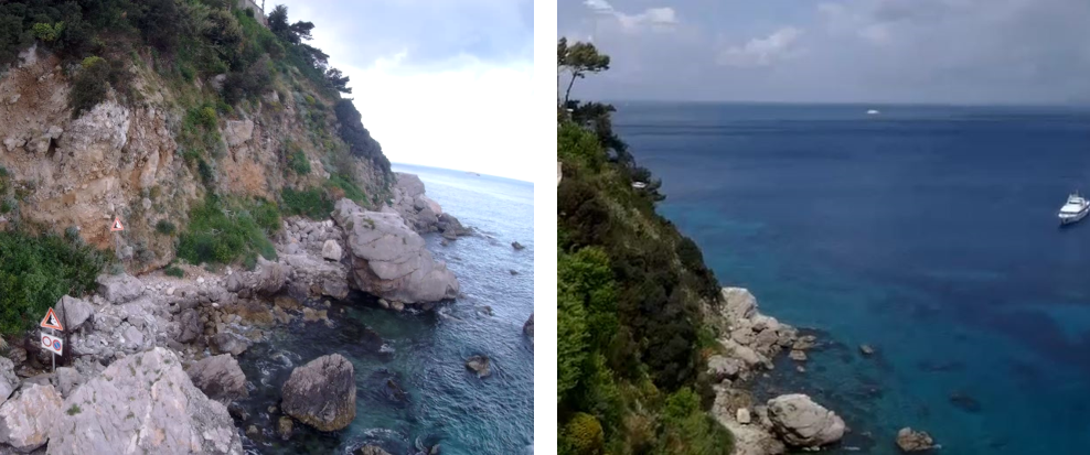
Images collected during UAV surveys in a coastal area.
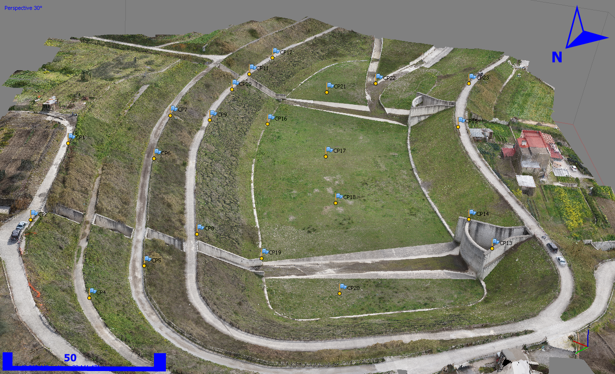
UAV 3D Photogrammetry: high resolution 3D modelling of landslide protection works.
NHAZCA at the 2017 AEG Annual Meeting
NHAZCA will be sponsor at the 2017 AEG Annual Meeting organized by the Association of Environmental & Engineering Geologists (Colorado Springs, Colorado, USA, September 12-16, 2017).
Come to visit us at our booth and learn about the most innovative solutions for both natural and man-induced hazards assessment and monitoring such as: Satellite InSAR and PhotoMonitoringTM.
During the AEG meeting, the contribution of satellite imagery for the investigation and monitoring of landslides will be presented in the technical section "InSAR Applications for Geology and Geological Engineering" (September 15, 2017 - 2:00-2:40 pm).
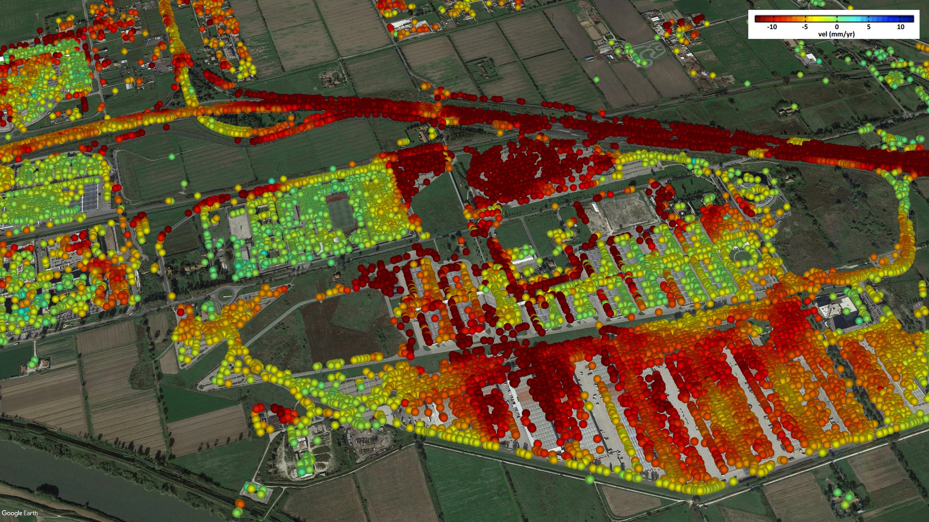
Example of Satellite InSAR results.
New publications
Have a look to our new articles
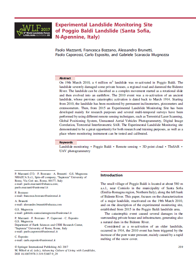
"Experimental Landslide Monitoring Site of Poggio Baldi Landslide (Santa Sofia, N-Apennine, Italy)"
"Mechanism of the Montescaglioso Landslide (Southern Italy) Inferred by Geological Survey and Remote Sensing"

NHAZCA SRL
Via Vittorio Bachelet, 12, 00185 - Rome, Italy
Skype: nhazca
Our mailing address is: info@nhazca.com