Geomorphological analysis of coastal erosion processes
Issue
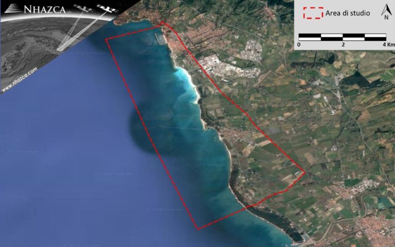
Understanding, through quantitative information, the evolution of coastal erosion processes affecting about 10km of coastline in the last decade.
Solution
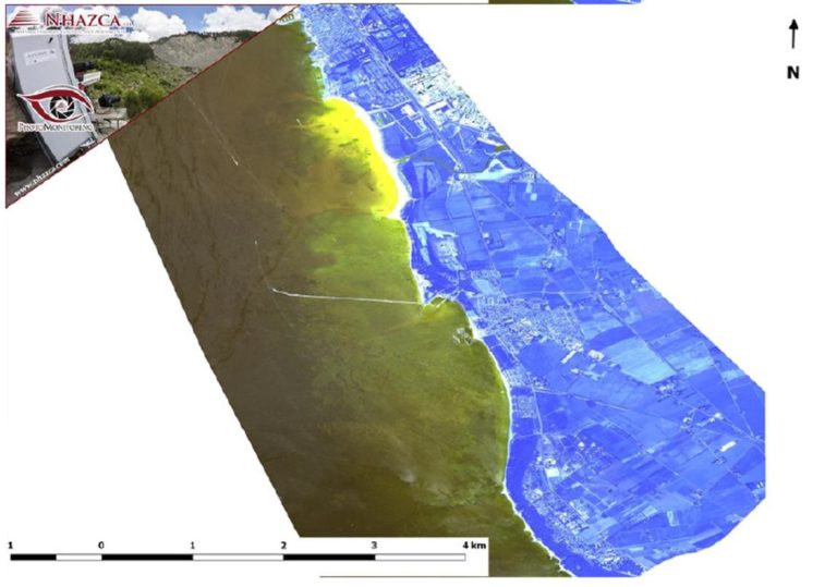
The study was carried out through the processing, post-processing and interpretation of multispectral and SAR (Synthetic Aperture Radar) images from aerial and satellite platforms. This set of images constituted an extensive dataset on which PhotoMonitoring techniques were used, using specific algorithms to identify significant changes in the area under study.
Achievements
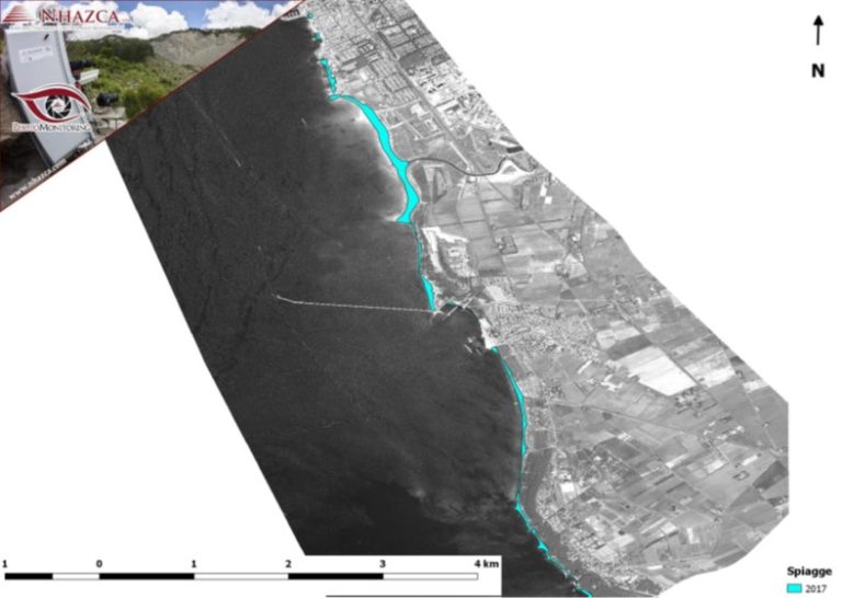
Thanks to the techniques used, it was possible to reconstruct the evolution of the coastal stretch by identifying the coastal progress and retreat sectors. Moreover, thanks to the multispectral image analysis, in terms of variations of spectral signature, the estimation of water turbidity values in front of the coastline were performed.