ABOUT US
NHAZCA (Natural HAZards Control and Assessment), Startup Company of “Sapienza” University of Rome, is an international leader in the analysis and monitoring of natural hazards and large infrastructures for the management and mitigation of risks.
NHAZCA is strongly characterized by a highly integrated and motivated team which contributes to its success and growth over time. Our team consists of enthusiasts geologists, engineers, project managers, and technicians coming both from private and academic world, also benefiting from a world-class network. Since our foundation, our team has been growing extensively and our ambition is to continue to develop new solutions and services while expanding our geographic footprint. Each co-worker is a specialist in his or her field.
Thanks to the high technical and scientific expertise of its team and to the support of excellent scientific and commercial partners, NHAZCA organizes specialized training activities, with courses both at national and international level, with the aim to provide to end-users the necessary background about the latest innovations in the field of geotechnical and structural monitoring and in the analysis of natural hazards for risk mitigation purposes.
Thanks to its daily work, NHAZCA also plays a peculiar role within the Sapienza University of Rome: supporting young researchers, putting them in a position to undertake their professional path and to demonstrate their skills.
A support that also takes place through the finding of funds for the most innovative projects.
It is the Third Mission of University, in addition to the initiatives dedicated to Didactics and Research of Sapienza, which NHAZCA carries out with pride and enthusiasm.

NHAZCA is always in step with the times and in line with the required skills.
Since 2019, NHAZCA’s Quality Management System has been certified according to the ISO 9001:2015 standard with Certificate n. IT288968/UK-1 issued by Bureau Veritas.
The certification for the Safety and Health Management System at the Workplace was obtained in 2023 according to UNI ISO 45001:2018 with Certificate No. 023L-NHA-H issued by SI CERT.
The certification of the Environmental Management System according to the standard UNI EN ISO 14001:2015 was also obtained in 2023 with Certificate No. 023L-NHA-E issued by SI CERT.
CODE OF ETHICS
Aware of its social responsibility, NHAZCA has drawn up its own Code of Ethics in accordance with the Organisational Model 231.
The Code of Ethics reflects the core values and commitment to conduct business in an ethical, transparent and responsible manner. It is a valuable guide that will support NHAZCA in maintaining integrity, promoting a respectful and inclusive work environment, and contributing positively in the community in which it operates.
This document is an important component of the corporate culture and sets out the ethical and behavioural standards that NHAZCA is committed to following in every aspect of its business activities.
NHAZCA was born from the commitment, study and desire to innovate, for this reason, in addition to competitive technical-scientific skills, our team is characterized by a group of motivated and prepared professionals, able to work in harmony and effectively with the reference figures of the academic world.
BOARD OF DIRECTORS

Francesca Bozzano
President, Co-founder and Board Member
Full Professor of Engineering Geology and Deputy Rector to “Relation with research centers and bodies, consortia and association for the third mission” at Sapienza University of Rome. Member of the Major Risk National Committee and of the board of INGV

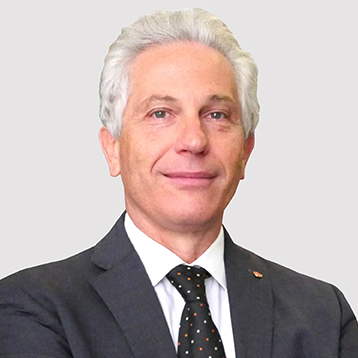
Paolo Mazzanti
Co-founder
Lecturer of Remote Sensing at "Sapienza" University of Rome, expert of monitoring solutions through innovative remote sensing technologies, organizer of the International Course on Geotechnical and Structural Monitoring (IcGSM)
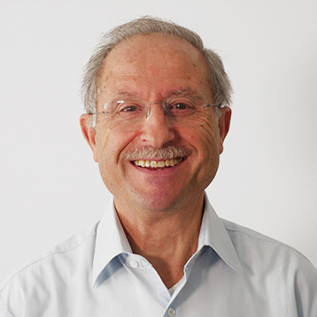
Gabriele Scarascia Mugnozza
Co-founder
Full Professor of Engineering Geology at Sapienza University of Rome, Director of CERI - Research Center on Prediction, Prevention and Mitigation of Geological Risks and President of Major Risk National Committee
Alberto Prestininzi
Honorary president and Board Member
Former Professor of Engineering Geology at Sapienza University of Rome

Alessandro Brunetti
Managing Director and Board Member
Geologist with many years of experience in the field of remote sensing for the mitigation of natural and anthropic risks