MUSAR – Data Fusion & Smart Automatic Classification of Satellite Multi-sensor/Multiband SAR and Optical Data
In the frame of the Call for Proposals “Study of new methods and technics based on the use of multi–mission/multifrequency SAR data” promoted by the Italian Space Agency (ASI), NHAZCA, in collaboration with, CERI Research Centre for Prediction and Prevention of Geological Risks of Sapienza University of Rome, has been funded for the development the project “MUSAR – Data Fusion & Smart Automatic Classification of Satellite Multi-sensor/Multiband SAR and Optical Data”.
Promoter: NHAZCA S.r.l.
Research entities: CERI (Research Centre for the Prediction and Prevention of Geological Risks) – Sapienza University of Rome
The “MUSAR” project was launched with the aim of expanding the potentialities provided by EO (Earth Observation) data in the research area related to Natural Hazards and in the monitoring, management and maintenance strategies of road infrastructures in high geological hazard contexts.
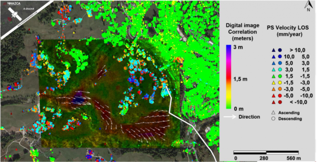
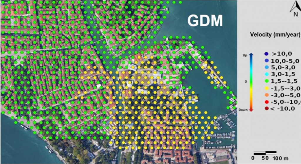
The project aims at developing software tools based on Data Fusion and Artificial Intelligence (AI) algorithms for the integration of multisource analysis datasets and semi-automatic classification of multi-hazard deformation phenomena (Smart Automatic Classification) detected by Earth Observation (EO) technologies. These tools can be implemented through a continuous multi-parametric monitoring of the territory.


