3D surveying of an archaeological site
Issue
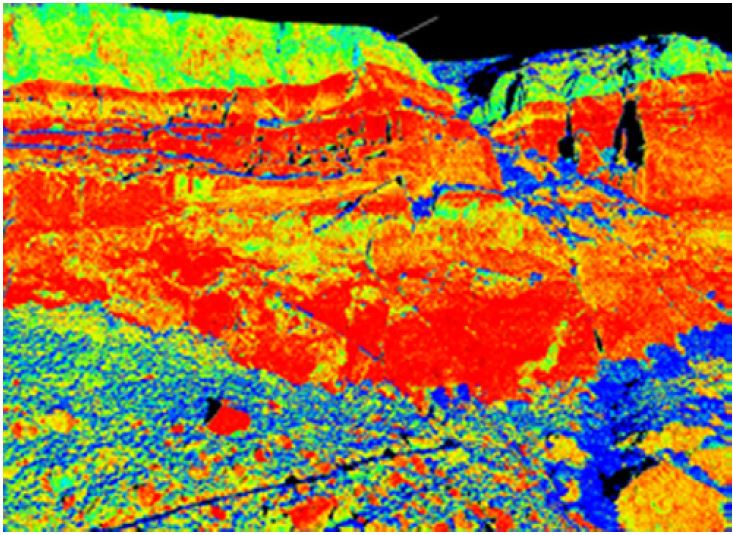
Analysis of slope instability processes (rock falls and toppling) affecting the Vardzia archaeological site in Georgia, submitted for the registration to the UNESCO World Heritage List for the cave monastery built in XII century.
Solution
In order to study and model the instability process, a high-resolution 3D point cloud of the slope has been achieved by a suitable Terrestrial Laser Scanner survey, performed in only 3 days by twelve different scan positions in order to reduce shadow zones. By available topographic data, the achieved 3D model was georeferenced in a real geographic reference system.
Achievements
Georeferenced 3D high-resolution true colours digital model of the cave monastery and surrounding areas has been achieved. By the analysis of the reflectivity maps, the lithological differences have been identified and a rock mass geostructural analysis has been performed for the identification of blocks prone to collapse. By the achieved 3D model, typological topographic sections have been also adopted for the rolling and propagation analysis of blocks for risk assessment.


For further details:
Margottini C., Spizzichino D., Crosta G.B., Frattini P., Mazzanti P., Scarascia Mugnozza G., Beninati L., 2015, Rock fall instabilities and safety of visitors in the historic rock cut monastery of Vardzia (Georgia), Volcanic Rocks and Soils – Taylor & Francis.