Emergency monitoring of a landslide for public safety
Problem
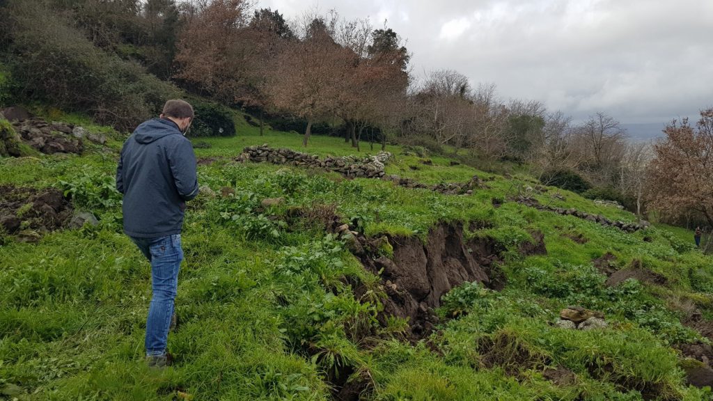
Following heavy rainfall, a landslide process was triggered that involved a house, destroying it, and threatening an entire settlement.
Solution
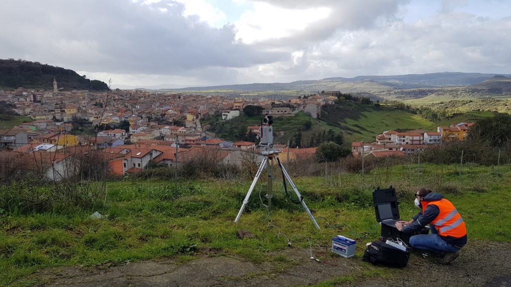
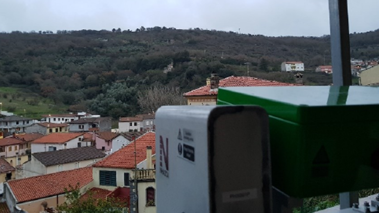
Less than 48 hours after the request for intervention, a series of emergency activities were carried out according to the emergency protocol called PRIMO – PRompt Intervention Monitoring Service. In detail, following a technical inspection by NHAZCA experts, several instruments were deployed in the field, including a Terrestrial Laser Scanner, a Terrestrial SAR Interferometer and Corner Reflectors to refine the quality of SAR data acquired. The Terrestrial SAR Interferometer (TInSAR) had the aim to monitor continuously (24h/24h) the movements of the unstable slope and to control its evolution in time.
Results
The continuous monitoring by Terrestrial SAR Interferometry allowed to identify the main unstable sectors of the slope and to control their evolution, also taking into account local meteorological data (e.g. rainfall). Monitoring reports were continuously provided to the local civil protection authorities in order to implement all precautionary measures.